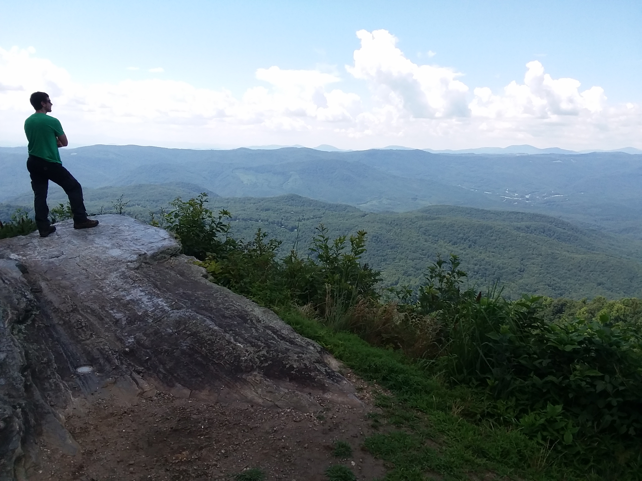
About the Project
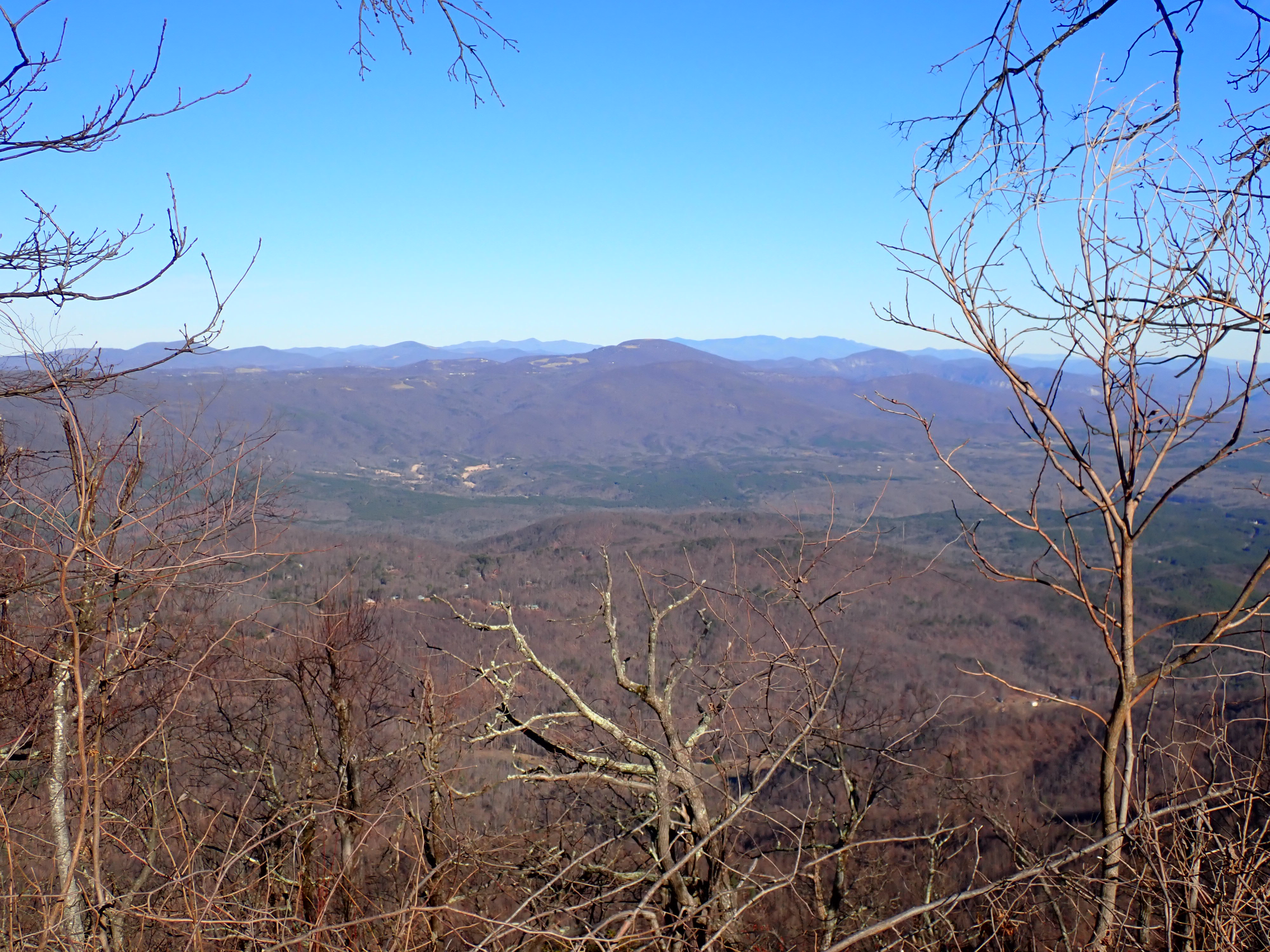
The Hurricane Recovery Act of 2005 (Section 6) directs the North Carolina Department of Environmental Quality (NCDEQ) to ensure that maps indicating areas vulnerable to landslides be made available for the 19 counties designated in the Major Disaster Declarations for Hurricanes Frances and Ivan.
To that end, the NCDEQ and the North Carolina Geological Survey (NCGS) have partnered with UNC Asheville's National Environmental Mapping and Applications Center (NEMAC) to support the data delivery and visualization of accurate, useful, and current landslide hazard data through a variety of web products. NEMAC is working with NCGS to make it easier for various audiences to access, interact with, and understand landslide hazard data.
All electronic and/or hard copy products (maps, data, text, etc.) produced by this landslide hazard mapping program are considered public information and may be freely redistributed and/or copied. These products, however, are intended to serve for general planning purposes only and are provided on an "as is" basis. These maps and products do not substitute for an on-the-ground site assessment by qualified individuals.
Disclaimer
Therefore, users must be aware of data conditions and bear responsibility for the appropriate use of the information with respect to possible errors, original map scale, collection methodology, currency of data, and other conditions specific to current data.
In no event shall NCDEQ or its employees be liable for any direct, indirect, incidental, special, exemplary, or consequential damages (including, but not limited to, injuries or death; procurement or substitute goods or services; loss of use, data or profits; or business interruption) however caused and on any theory of liability, whether in contract, strict liability, or tort (including negligence or otherwise) arising in any way out of the use of these data, even if advised of the possibility of such damage.
This website is being provided for the benefit of the general public. No representation is made that this website will meet the specific requirements of any person or will operate without error or interruption. All other conditions or warranties, express or implied, are disclaimed. It is the sole responsibility of the user to evaluate the accuracy, completeness, or usefulness of any information, opinion, advice or other content available through this website. DEQ may modify or remove map services, data and access methods at will.
Credits
Rick Wooten, Corey Scheip, Jesse Hill, Tommy Douglas
Jim Fox, Nina Hall, Matthew Geiger, Mary Spivey, Katie Caruso (student intern), Kelsey Hall (student intern), Josh Ward (student intern)
Organizational Information